
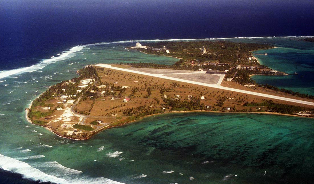
This is where we’re headed. When the Japanese held the atoll, this was two islands; U.S. forces connected the two. The closer one is used for the resident bachelors and various facilities. The far island is where the radars are located. Must be the dry season, the grass is pretty brown.
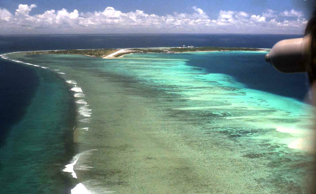
Approaching Roi-Namur you can see part of the reef which connects all the islands; parts of it are above water at low tide. In this photo, the ocean is on the left, the lagoon on the right. Darker water is deeper water.
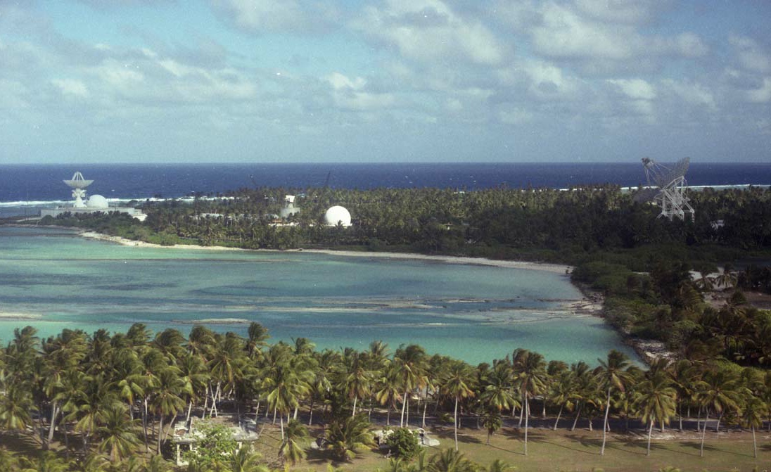
A view of the far island with the radars. It’s hard to tell but the radar dish to the extreme right in the picture is 150 feet in diameter. That’s the largest one there. The millimeter wave radar is unfinished in the center of this photo.
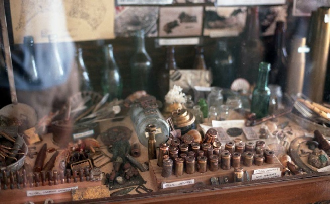
This is part of a display inside the terminal building at Roi-Namur. Someone found lots of Japanese and American artifacts from World War 2.
The battle for the Kwajalein atoll took place in February, 1944.